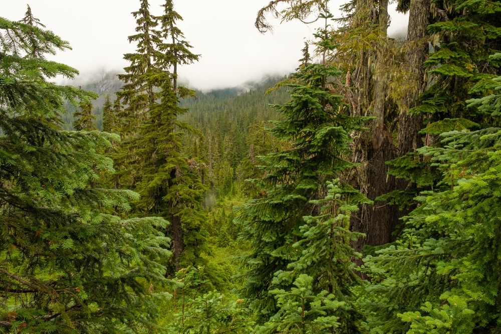
The rain came steadily through the mountain hemlocks as my group huddled under an overhanging branch. Misty waves of water had been passing through this forest for the last half hour, but distant thunder was what caused us to pause. Raincoats and hats dripped.
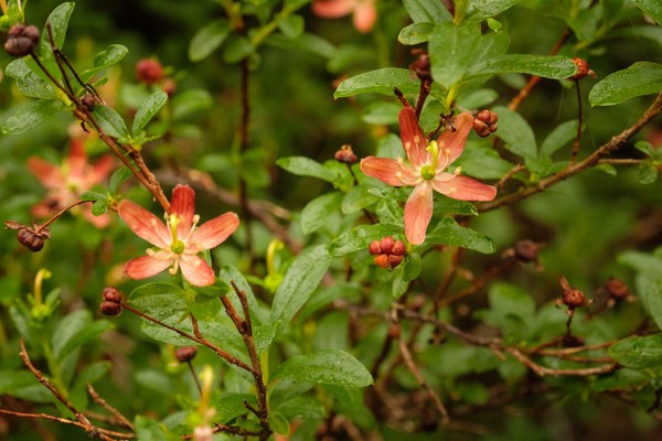
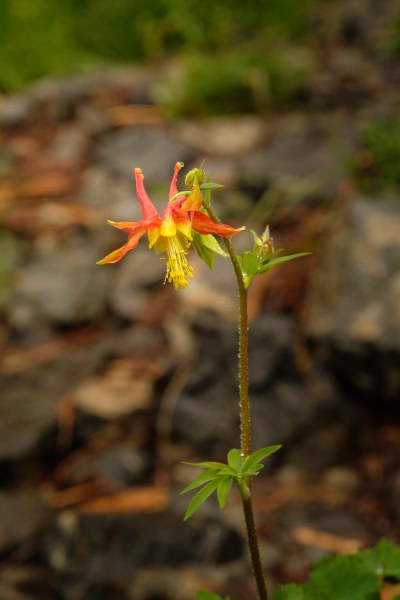
The clouds in the forest made our hike evocative, what would be around the corner or happen next. As we trekked, flowers jumped out of the edge at the last second. A copperbush was a new species for many of us. Its five reddish petals, six yellow stamens, and yellow pistol captured our eyes. We stood for the longest time, huddled around this bush, in the warm drizzle, and studied our flower guides. “Elliottia pyroliflorais native to mountainous regions of Northwestern United States,” the app on our phones said.
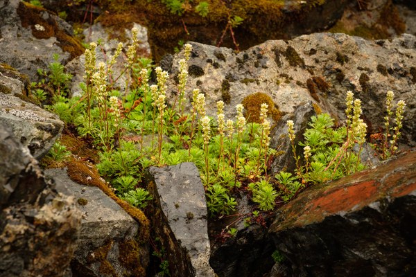
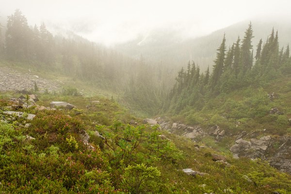
I’d asked if they wanted to continue our hike. Lightning might make the open talus slope that we needed to climb toward Lake Ann a little spooky.
“I’m fine!” said Paul cheerfully, and the other three nodded their heads in agreement.
Our goal was Lake Ann, a subalpine lake on the slopes of Mt. Shuksan. I had long heard about the view from the shores of this North Cascade lake. Salmon and Lower Curtis glaciers drape the mountainside and Summit Pyramid, Shuksan’s top, rises like a giant monument. The rain let up a little, but the fog continued to obscure the valley below. We had only glimpses of distant rocky ridges as if someone was pulling a curtain back and forth across the stage.
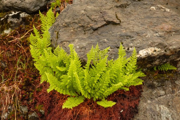

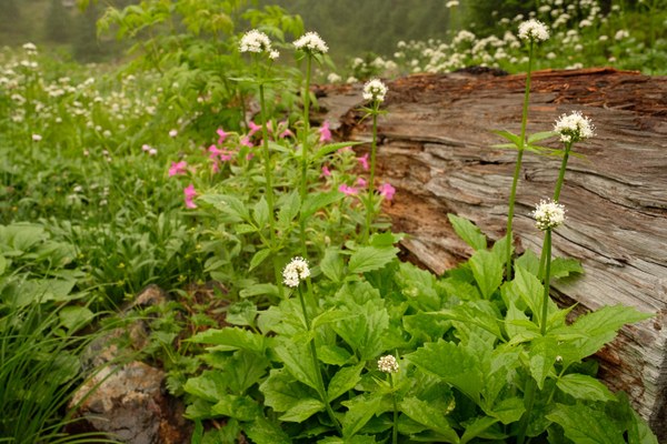
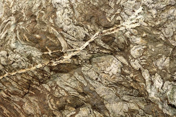
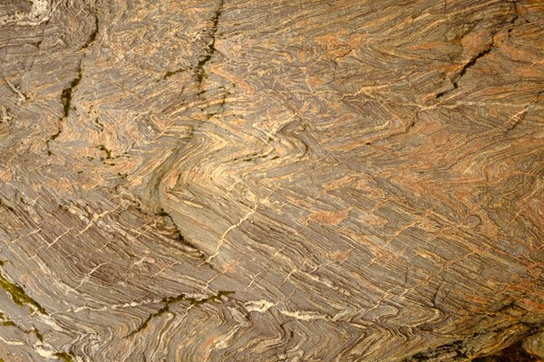
Geologically, Mt. Shuksan is fascinating. It is composed of greenschist, oceanic basalt that was metamorphosed when an ocean bottom collided with the North American Plate. Over the last 120 million years, this basalt block was compressed under enormous pressure and probably heated causing the material to be transformed into greenschist; it was pushed great distances by tectonic forces, and now is jammed among these younger rocks. These primordial processes eventually uplifted the mass to its present location, helping form these North Cascades. Erosion has further sculptured this landscape into its current form.
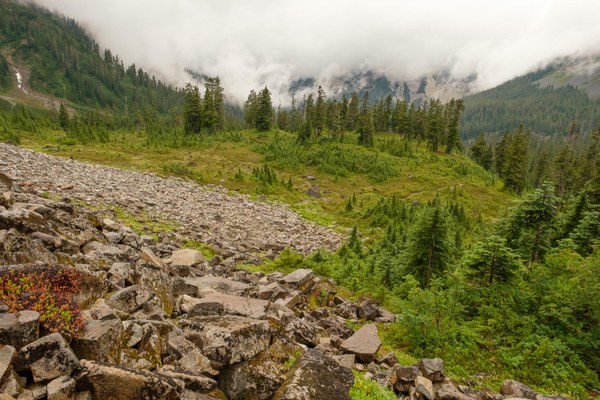
The rain stopped as we started a series of switchbacks up the slope toward the saddle above Lake Ann. It gave us hope that we still might see the mountain. The hillside was littered with a type of granite. In the late Pliocene, 2 million years ago, a molten pluton pushed up through this area probably contributing to the metamorphous of the surrounding rocks. Lake Ann was formed in a bowl of granite carved by a Pleistocene glacier.
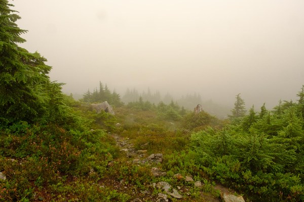
As we crested the saddle, Paul said, “The Lake is right down there,” but only a white blurry cloud extended in front of us. The wind had picked up, making the pass brisk in the moving fog. The map showed that Lake Ann was only a hundred feet lower in elevation. Everyone wanted to see the water, so we started down the trail. Some boulders along the way looked like mangled wood, while others were white and made up of layers of quartz. At the lake’s edge, we could only see a dozen yards across the water.
While we ate our lunch, five mountain climbers materialized out of the fog. Helmets protected their heads, while ice axes and ropes hung from their large packs. In the cloud, these young, fit, thirty-something men said they were unable to find the trail up to Lower Curtis Glacier, so they had decided to head elsewhere. They vanished to the south, a way that my map lacked trails. A light drizzle caused us to pack-up quickly and don our rain gear for the third time.
On our hike back to the trailhead, the weather partially cleared yet again, and we watched fog patches dance along the valley and distant ridges. Every few minutes, the entire panorama took on an entirely different mood. Our progress was slow for each performance was unique and required our attention. Finally, heavy rains came, as Laurie and I climbed the grade toward the end. The other three, with stronger younger legs, had already moved up the mile-long climb, disappearing into the foggy forest.
 Thomas Bancroft