By Mia Spangenberg
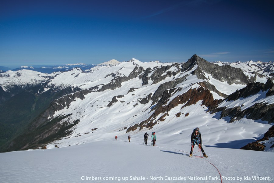
Traveling along the North Cascade Scenic Highway (State Highway 20) between Marblemount and Mazama, one can’t help but be awed by the views of jagged peaks towering on every side. It is just as awe-inspiring to realize that the North Cascades began to be formed only about 90 million years ago, a blink of an eye in geologic time, through many collisions of fragments of the Earth’s lithosphere, called plates. The region has additionally been fine-tuned by ice-sheet and valley glaciers over the past two plus million years.
Donn Charnley, Emeritus Professor of Geology at Shoreline Community College, has hiked, skied, and climbed extensively in the North Cascades and studied the history revealed in its rocks and structures. Evidence of this region’s tumultuous history is subtly visible everywhere. Paddling up Ross Lake, the trained eye can see a thrust fault extending across the top half of Jack Mountain, the result of older rock pushed over younger rocks. Backpacking to the Snowy Lakes, one can admire the Golden Horn granite, one of many ‘stitching’ plutons, or masses of plutonic rock cooled from magma within the earth’s crust. Charnley especially recommends the Diablo Point turn-off on Highway 20, just beyond the town of Diablo above Diablo Lake. There, you can see a display and read about the various igneous and metamorphic rocks that make up the North Cascades.
Donn credits the highway with providing greater access to this marvelous wilderness region, as well as fresh outcrops for geologists to study and advance their understanding of how the North Cascades came to be. He was often out in the field with the late University of Washington professor and pioneer geologist Dr. Peter Misch, who began to explore, interpret, and map the North Cascades in the early 1950’s. Dr. Misch soon realized the Cascades were composed of a significant number of large, diverse crustal fragments, separated by large strike-slip and thrust faults, and intruded by many plutons. Dr. Misch was not aware of the concept of plate tectonics during his first decades of study, which made it extremely difficult to understand how these ‘pieces’ were ‘assembled’. He identified the north-south Straight Creek strike-slip fault in the western Cascades, which extends from I-90 into British Columbia. According to Charnley, this fault is our San Andreas, with over 55 miles of offset. Movement on this fault appears to have ceased about nine million years ago.
In the mid 1950’s Donn became very interested in the revolutionary concept of continental drift proposed by Alfred Wegener in the 1910’s. Geologists had accepted that there was vertical movement of the Earth’s crust, as evidenced by marine fossils on the tops of mountains, especially Mt. Everest, but accepting lateral movement of portions of the earth’s crust was another story. Wegener proposed that Africa and South America were once joined together, based on the ‘fit’ along the edge of each continent’s continental rocks, and the fossils of many non-swimming animals, and large-seed plants, that had once been widespread across South America, Africa, India, and Antarctica.
Wegner’s ideas faced staunch, often vigorous, opposition until developments in paleomagnetism, the study of a rock’s magnetic minerals orientations, and accurate age-dating tools, provided a location and time references to determine past positions of the Earth’s lithospheric plates. He says, “It has been a very exciting time to be in geology. The reality of plate tectonics has provided us the ability to unravel geologic conundrums previously unanswerable.”
 Mia Spangenberg