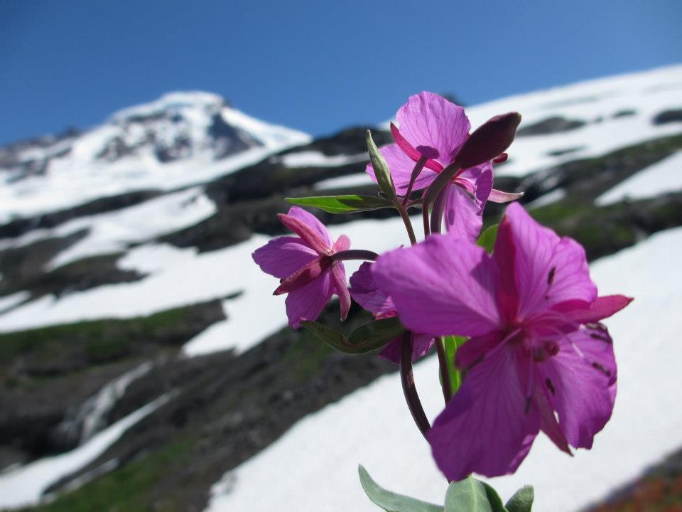
The Nooksack Access Travel Management project in Mt. Baker-Snoqualmie National Forest seeks to identifying roads to retain, roads that are no longer needed, and roads that need work to stay open. The major roads for recreational users included in this project area are Glacier Creek, Hannegan Pass, Skyline Divide, and Canyon Creek Road.
Visit the Nooksack website to submit comments electronically and to find out more project information.
What roads are the most important to recreationists?
- Road 31 - Canyon Creek Road (access to Canyon Ridge, Boundary Way and Damfino trails)
- Road 32 - Hannegan Pass Road (access to Hannegan Pass Trail and Peak; the road is a good multi-use snow-play area when snow levels are low enough)
- Road 37 - Skyline Divide Road (access to the Skyline Divide)
- Road 39 - Glacier Creek Road (access to the main northwest-side climbing route on Mount Baker including access to Coleman Glacier via Heliotrope Ridge Trail)
While Road 39 (Glacier Creek Road: access to the Coleman Glacier and the north side of Mt. Baker) is on this list as an important Level 3 or higher road, it has been closed a number of times in the last decade or so. Once it was closed for an entire summer season, which forced all climbers to the south side of Mt. Baker. With twice as many people on the south side of the mountain that summer, significant impact issues abounded, including trail erosion and braiding, and excessive human waste.
To disperse use on Mt. Baker, Road 39 needs to remain open and drivable throughout the summer season. Road 39 is currently closed at mile 1. We encourage the Forest Service to focus on getting this road open for 2016.
The Mountaineers were active partners in the Sustainable Roads public engagement process where the FS asked the public to identify roads important to them and why. This Travel Management Project comment period is a next step in this sustainable roads process. Please comment here.
why roads?
Mt. Baker-Snoqualmie National Forest shares the background on why they're addressing roads in the Forest:
Many National Forests across the country have large road systems, established when the timber program and industry was much larger. Today, with a lower roads budget in the FS overall, these road systems are no longer sustainable: they cannot be maintained at the levels needs to prevent impacts to the land. In order to address this issue, in 2005, a federal rule (the Travel Management Rule) was published that requires all National Forests to analyze their roads [to identify]…the minimum road system needed for safe and efficient travel…and that all National Forests designate roads, trails and areas for motor vehicle use.
Click here for more details on this from MBS, and here for full project information. Comments due March 7th
Add a comment
Log in to add comments.For those of you looking for a "template" for your email to Christopher Stewart at the Forest Service (csstewart@fs.fed.us), here is what I just sent him:
Hi Christopher,
I'm writing to you today because I'm an active recreationist in the Mt. Baker-Snoqualmie National Forest. I've summitted Baker twice, once via the Heliotrope Ridge Route, and once via the Squak Glacier, and both times on skis. As an active backcountry skier, Heliotrope is one of my favorite go-to stashes, and in the past few seasons I've logged half a dozen days in the backcountry.
I've also backpacked along Skyline Ridge, and have experience the awe of waking up to Shuksan and Baker looking me in the face.
This year - when snow has been great - none of us in the backcountry ski community have been able to access the beautiful landscape due to the washout on Road 39. This is disappointing to me personally, but also as a safety-minded skier, this makes me concerned for the upcoming season - mainly how much crowding is likely on the south side of the mountain. Closing the road means closing the primary climbing routes on the mountain. The Squak and Easton glaciers tend to be safe routes in early spring, but open up quite a bit more than the Heliotrope route into the summer. This will push more people to attempt to summit during a smaller window of time, increasing the danger for everyone. And since snowmobiles are allowed on the south side of the mountain as well, it will increase the "traffic jam" and also devalue the experience for those looking to get outside and experience the quiet wonder of nature. And, without access to the Coleman Glacier, valuable training grounds to practice ice climbing before committing to a route like Liberty Ridge will be lost.
Mt. Baker could become a destination climb if we build the right infrastructure. I personally have a friend supporting his family with money made on Baker expeditions due to the high client interest in climbing this route. I can understand - my first glacier travel experience was on Baker too.
As a nonprofit employee, I completely understand the Forest Service has a limited budget, and that some roads will need to be closed or decommissioned. You have some difficult choices to make. I'd like to encourage you to prioritize getting Road 39 open for 2016, and to consider the impact to all of the recreation on Mt. Baker when this is closed. Please look at low use roads rather than one of the most highly used roads in the North Cascades as you are making your recommendations.
Thank you so much for your work and consideration. We live in such a beautiful place, and it's important to me and others in my community that we continue to have access to these wild playgrounds.
Thank you!
Kristina Ciari
 Tess Wendel