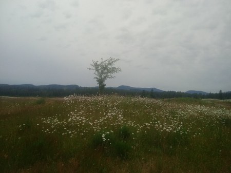
The word "Mima" in Mima Mounds is derived from a Native American language meaning “a little further along” or “downstream.” Modern scientists argue about what causes these unusual land formations, but what I find fascinating is that the Mima Mounds are not unique; mounded forms are found across the United States. In California they're called “HogWallow Mounds,” and New Mexico, Colorado, and Wyoming have “prairie mounds.” In the Northern Great Plains they're known as “Pimple Mounds.”
History
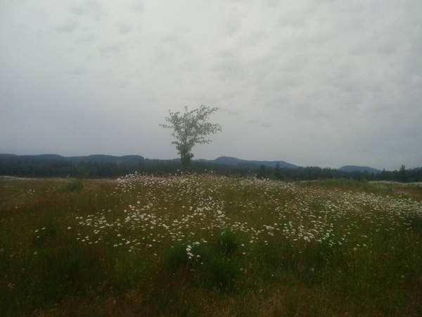 Prairie grassland, flowers, and encroaching forest in the rain. Photo by Regina Robinson.
The Mima Mounds Natural Area Preserve was established in 1976 to protect the prairie grasslands and the mounds. It's 637 acres and serves as a home to many birds, rodents, native shrubs, plants, and trees. In 1966, the National Park Service designated the Mima Mounds as a National Landmark, one of only seventeen found in Washington State, and today this area is a great reminder of the diversity found in Washington State's landscapes. My favorites flora are the garry oak trees, camas, daisies, asters, self heal, yarrow, and the bunch grass, which dot the landscape prolifically.
Upon leaving the parking lot, the first stop is the kiosks that theorize why the Mima Mounds exist. They offer geological explanations along with a collection of stories and theories hypothesizing why the Mima Mounds exist.
The mounds are of rounded gravel deposits mixed with sandy loam. They are circular or elliptical domes, sometimes with flat tops composed of loose, un-stratified gravelly soil. They stand anywhere from one to seven feet high, and can be as wide as 40 feet across.
In 1913 a geologist named J. Harlan Bretz studied the Mima Mounds and suggested they were created when the ice age glaciers started to melt, causing pits in the icy snow known as suncups. These suncups collected the sediments carried down by the glacier and then, as they continued to melt, formed what we see today.
Several scientists in the 1940s suggested that after the glaciers retreated and melted away, pocket gophers began to dig their nesting chambers deep inside, raising the dirt and causing the mounds.
In 1900 glaciologist A.L. Washburn suggested that the Mima Mounds were caused by runoff erosion created when the glaciers' melt water eroded the soil between trees and shrubs, leaving mounds around the plants.
Another geological theory is that the mounds were created when the frozen ground known as permafrost near the end of the glacier cracked and refilled with water, causing ice to form. When the glaciers retreated the mounds were thought to have formed as the ice melted due to the warming climate, leaving behind large piles of mounded dirt.
The most common theory is centered on the deposition, accumulation, and erosion of debris left from ice age glacier materials deposited 2.2 million years ago. 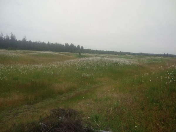
The Hike
Even in the June rain, the Mima Mounds made for a delightful adventure because the lupine, camas, arnica, and self heal were still in full bloom. To hear the sounds of the humming bees and the wind blowing through the grass and trees really was a much needed break during the COVID-19 shut downs. We took our time meandering, listening to the myriad of birds calling back and forth to each other. We stopped often to identify flowers, grasses, lichens, and moss. My suggestion is not to rush walking through the Mima Mounds - savor every bit of it.
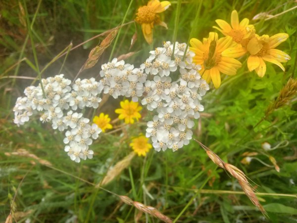 Local plant life. Photo by Regina Robinson.
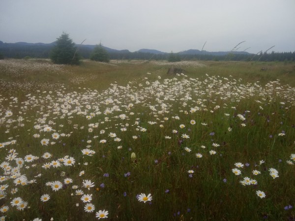 Daisies dotting the mounds. Photo by Regina Robinson.
My hiking partner and I walked the loop trails twice, making for a much longer hike than the 2.7 miles listed as the roundtrip total. There are no facilities except for a pit toilet located in the parking lot. Please be prepared for large crowds during the weekend. I find the best times to visit this majestic area is during the morning Monday – Friday. Trash hasn’t been a concern on past excursions to this lovely, peaceful area, but this time I’m glad I had my extra trash bags, as we encountered quite a bit of litter on this trip.
Trip Info
Hours of operation: April-September 8:30am-8:30pm, October-March 8:30am-5:30pm
- Mileage: 2.7 miles roundtrip
- Gain: minimal
- Dogs: Dogs are not allowed; service dogs allowed.
- Fees/Passes: Discover Pass
- Access: The trails are suitable for individuals with disabilities, and are easily accessible via the paved trails.
Even the non paved trails were gentle and rolling. Interpretive trails and kiosks are available throughout to learn more about the prairie.
Notes
- Bring water, bug spray, binoculars, camera, and dress appropriately for the weather. We started our hike on a lovely sunny day and the weather quickly turned cloudy, gray, and rainy.
- Volunteer site stewards are needed year round to monitor the site, remove invasive species, check perimeter fences, and interact with visitors. If you are interested in becoming a site steward, please contact the Pacific Cascade Region Natural Areas Manager for more information.
- Please do not pick the wildflowers. Practice LNT Principles as this is home to many wild animals.
Directions
South of Olympia, take the I-5 exit for Littlerock, and drive 128th Avenue SW until it intersects with Waddell Creek Road. Turn right onto Waddell Creek Road, travel about a mile, the entrance to the Mima Mounds will be on the left.
 Regina Robinson