I thought I didn’t need a navigation course. As a frequent trail hiker who carried the Ten Essentials (paper map included), I was confident in my skills. I used my phone’s compass and altimeter apps to orient myself and figure out what I was looking at. When I went home, I reviewed my route on my paper maps. I had the Gaia app, and I always knew where I was and where I’d been.
But I wasn’t always where I wanted to be. I noticed battery drain on long trips, and realized I couldn’t always depend on my phone tools like the compass, altimeter, and Gaia.
So, I signed up for The Mountaineers On-Trail Navigation Course led by Peter Hendrickson to learn how to better use my paper map and compass. The class was taught in a hybrid format. Six or seven hours of pre-work (which involved watching videos and trying things out on my own) was followed by one in-person class session and a field trip in Carkeek Park. The pre-work exposed me to the course content and vocabulary, the classroom session reviewed everything and answered everyone’s questions, and the field trip provided practical experience.
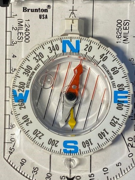
 Compass Adjusted for Magnetic Declination.
What an eye-opening experience this class was! My old compass had lots more to offer than simply which direction I was looking… I could now read a map, figure out a slope, and determine a distance – all with my new knowledge. And using the UTM grid instead of latitude and longitude as I had been doing previously made paper maps much easier to use. The course also taught me to get much, much, more out of my Gaia app, and introduced me to the amazing CalTopo site where I could make maps customized to my day’s plan, in a resolution I could easily read on-trail.
The field trip was a fabulous learning experience. (It was nice to have a close-in site, saving gas and time.) As a group, we navigated ourselves to Carkeek Park, then explored using the techniques and tools we’d learned. Every segment started with a map review of where we were, where we were going, how we were getting there, and how long it was likely to take. This mindful and methodical approach to hiking is clearly good for safety, but I found it increased my satisfaction in the experience as well.
I went home happy, and began using what I had learned in my planning and hiking. Weeks passed.
I got frustrated with some of the limitations in Gaia’s route-editing capabilities, but I wasn’t comfortable yet with CalTopo. I signed up for another course, GPS Navigation Using CalTopo and Gaia GPS. This course, taught by Steve McClure, had several key elements – the Navigation Workflow, technical GPS system information, and lots of hands-on work with Gaia and CalTopo, independently and in class.
Learning about the technology of the GPS system obviously isn’t needed for its use, as our car systems show. But to use it in the backcountry, the deep forest, or in rough terrain, it is important to understand how to optimize your reliance on what your GPS device is telling you.
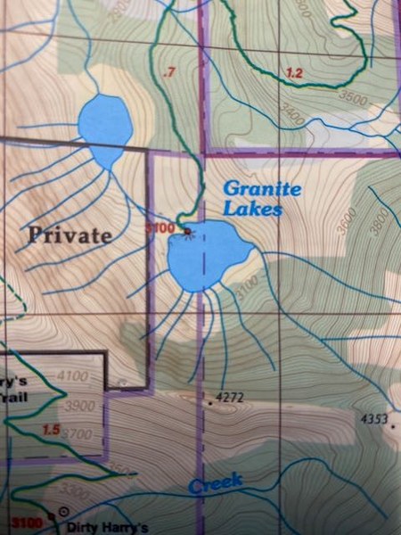
 Tight contour lines show the steep slope.
The GPS navigation course was taught entirely online, which allowed me to complete assignments on my own schedule but also allowed me to receive one-on-one help. It’s much easier now to answer my frequent trail question: “what peak is that over there?” with the use of easily-recorded waypoints and bearings. If I’m planning a trip covering multiple trails, CalTopo lets me design a route and print out a customized map for that specific day.
I benefited from my new knowledge in quick order. In May, I was hiking a snowy trail off I-90, and gradually realized I missed a switchback because everything around me looked the same – no evidence of a trail in any direction. After a moment of self-reproach, I pulled up my Gaia app and took a bearing from where I was to where the trail should be. I then followed that bearing as the hill allowed, and a few minutes later I was back on track. I certainly could have followed my tracks back to where I went astray, but the direct correction was much more satisfying.
These courses are obviously very practical and will make you safer and more confident on the trail. For me, they’ve also increased the overall pleasure of hiking. And if you’re analytical and like to have things organized and under control, these courses are pure fun!
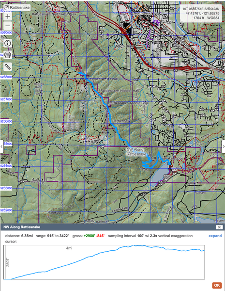
 Planned Route to East Peak in CalTopo.
Mountaineers Navigation courses, like all other Mountaineers courses, are the result of great teamwork and continuous improvement from many dedicated volunteers over the years. If you're looking to improve your navigation skills and have more fun on and off-trail, check out the navigation courses currently being offered.
Add a comment
Log in to add comments.Thank you Trudi!
 Trudi Jackson