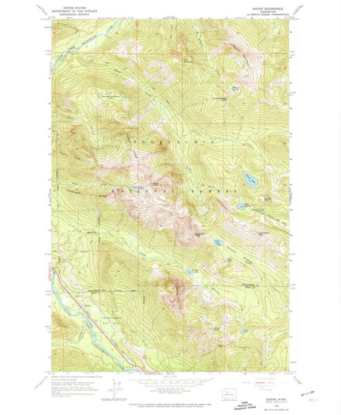
USGS Baring / Index Map
Mountaineers Members Discount
Log in to access the promo code and receive 20% off your order.
Description
Description
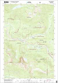
This double-sided USGS 7.5-minute map has "Baring" quad on one side and "Index" on the other, which are the maps students need for both the Mountaineers online "Wilderness Navigation" course and also for the in-person workshop portion of this course.
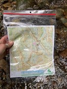
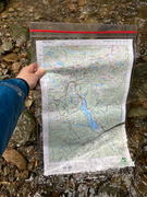
The map is printed in color on paper stock. You'll want to protect it by carrying it in a waterproof bag, such as a Ziplock bag. It is shipped folded.
The USGS has created topo maps for the entire United States and they are available for free download here: www.usgs.gov/pubprod/. Maps sold on the Mountaineers Books site are the same, except printed in large format (21.75" x 27").
Contributors
Created by US Geological Survey
