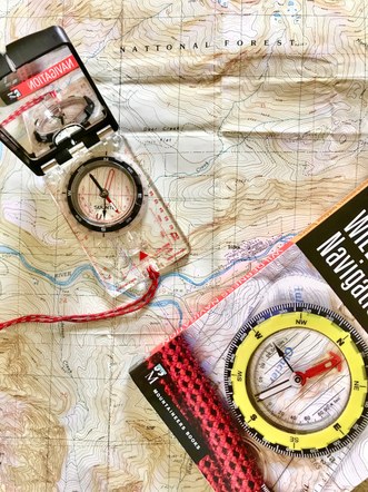
Seattle Wilderness Navigation Equivalency
Equivalency is appropriate for members who have a well grounded grasp of core concepts, and are proficient with paper map, compass, altimeter, and GPS.
NOTE: Graduates of the Wilderness Navigation Course whose badges have expired can follow the Wilderness Navigation Rebadge process.
You will be required to teach your assessor (who will assume the role of a beginning student) various core navigational concepts and techniques. This may include how to:
Deduce the angle of a slope using the clinometer.
Calculate “grade of slope” on a paper map without using trigonometry.
Use a mirrored compass with no declination adjustment in combination with a paper map to deduce your point position relative to a recognizable feature in the field.
Use a mirrored compass with no declination adjustment in combination with a paper map to locate and identify an objective in the field.
Orient a paper map using only the sun, time of day, and/or terrain recognition.
Orient a paper map using a mirrored compass.
Convert a true bearing into a magnetic bearing based on your declination being east.
Convert a true bearing into a magnetic bearing based on your declination being west.
Convert a magnetic bearing into a true bearing based on your declination being east.
Convert a magnetic bearing into a true bearing based on your declination being west.
Accurately communicate UTM coordinates.
Demonstrate how to obtain a GPS coordinate and transfer it to a paper map.
Should you pass this assessment, you would then be required to:
- Attend an instructor training session at Discovery Park (a weekend event from 7:30am to 2:30pm), to familiarize yourself with the field trip particulars and our best practices.
- Instruct at an In-Person Workshop for the Wilderness Navigation Course.
- Instruct at a Field Trip Wilderness Navigation Course.
To Apply: Read the Seattle Wilderness Navigation Course description carefully. Submit an application to the Seattle Equivalency Lead (Click here to apply). You will then be advised of next steps.
Need more help or have questions:
Contact Seattle Equivalency Lead.
