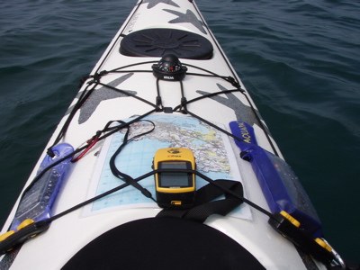
Field trip: Sea Kayak Navigation
On the Water Navigation - Burrows & Allan Islands
On the Water Sea Kayak Navigation
- Sat, May 25, 2024
- Seattle Sea Kayaking
- Sea Kayaking
- Adults
- Sea Kayak II/III
- Moderate
- Mileage: 8.0 nm
- Maximum Wind: 10 kts
- Maximum Waves: 1 ft
- Maximum Currents: 3 kts
- 4 (6 capacity)
- FULL (3 capacity)
- Cancellation & Refund Policy
TBD
- Use of ranges
- correlate significant land features and navigation aids that appear on the chart to their appearance on the water,
- identify your position on the chart using lines of position and bearing to landmarks and compass.
- Identify the rough speed and direction of the current you are in..
Route/Place
San Juan Islands from Anacortes
-
Rosario Strait & Bellingham WA001
Sea Trails Lopez, Blakely, Decatur & Shaw Islands WA002
NOAA Bellingham to Everett No. 18423
NOAA Strait of Juan de Fuca to Strait of Georgia No. 18421 - See full route/place details.
Roster
Required Equipment
Required Equipment
Compas, Chart
Trip Reports
